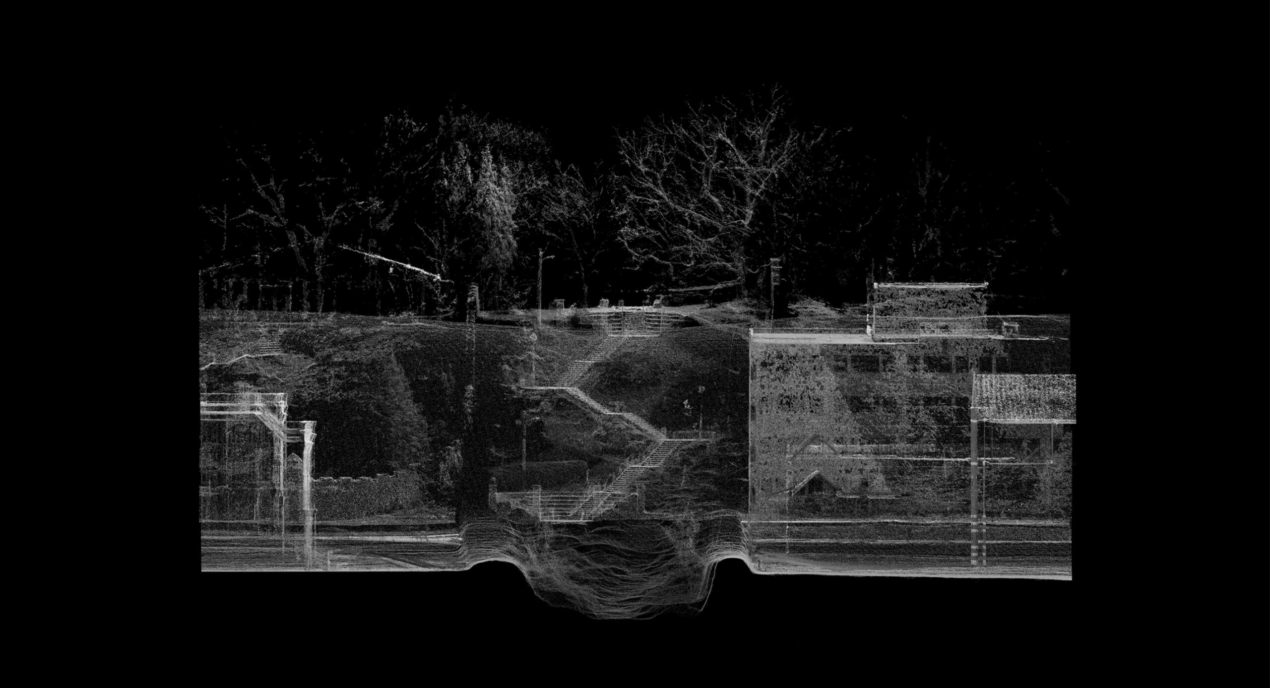
Below Toronto’s urban fabric lies Indigenous histories thousands of years long – yet today, they go entirely unnoticed by the passerby. What is noticed instead is colonial infrastructure that conceals and neglects these histories. This thesis recognizes the land that is occupied by Spadina Avenue as wounded and suppressed, and through processes of cutting, excavating and re-naturalizating at civic scale, the street is re-established as Ishpadinaa, the trail after which it is named. By working within the colonial boundaries of the street, the masked past is confronted, and the suffocated land can breathe once more.
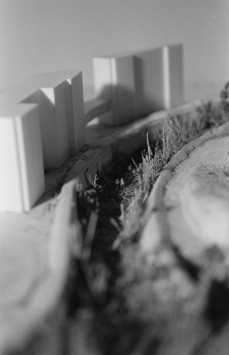
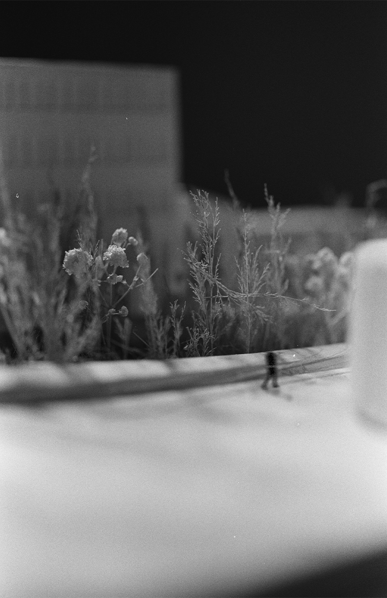
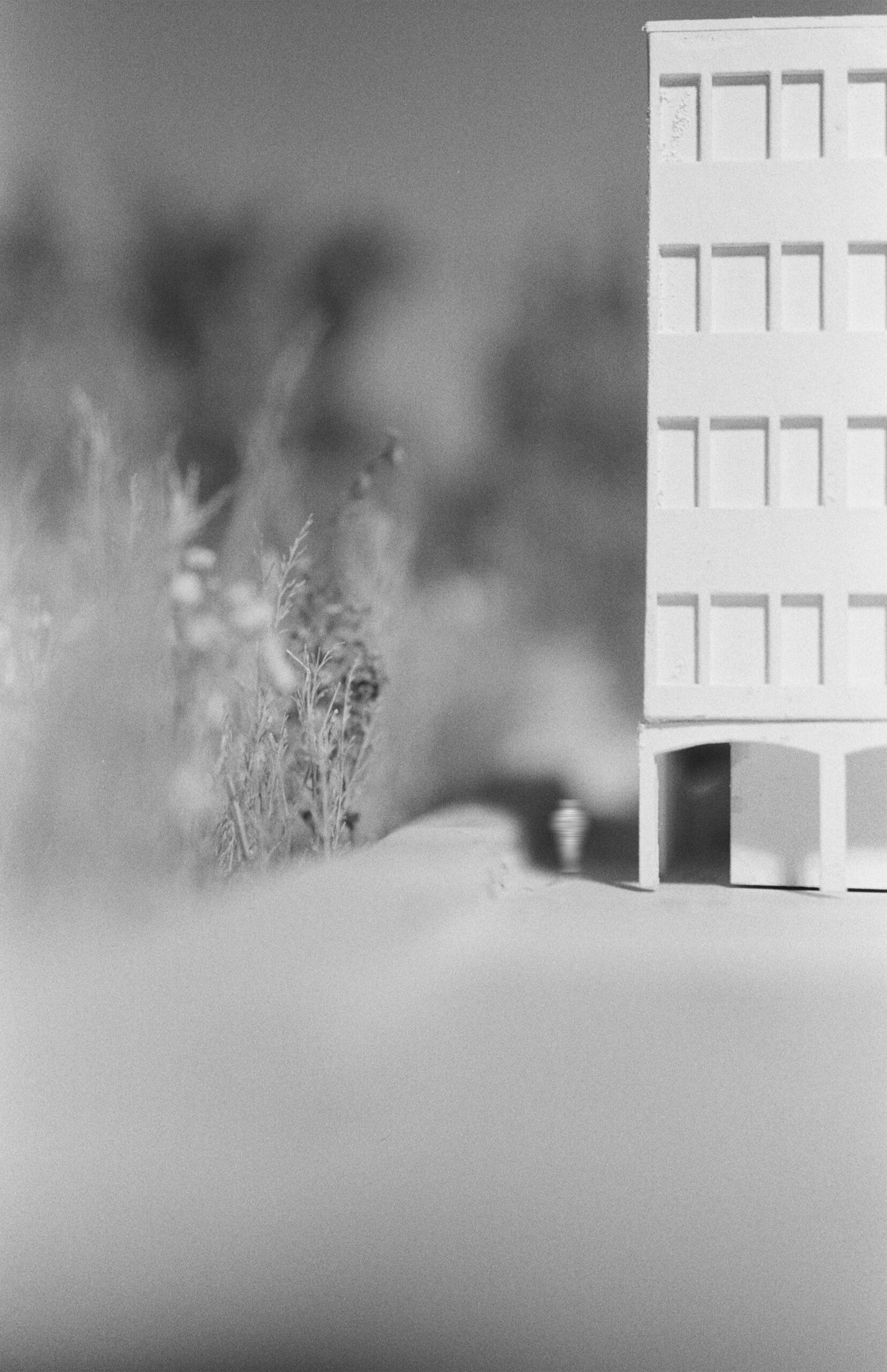
The technology of LiDAR scanning is a practice based in the pursuit of truth of form. I endeavoured to use such technologies to envision the emancipation of the land – by scanning the existing and simulacra of the site, the historical form and function of the land is imposed upon the existing city context and redefined, thus creating a walkable wild trail that connects the lake and land. Ishpadinaa is an artifact of history, so much so that in discussion, it is principally referred to in past tense, as if archived.
However, this thesis is foremost concerned with (re)presenting this archived land as current, merging the past, present and future and presenting it as artifact and urban form. My thesis imagines a city in which this invisible past is made visible through infrastructure while also producing a generous and vibrant urban form that is conscious of the histories and futures that it occupies.


