In ordinary times, nature plays an important role in constructing healthful living and working environments. Pandemic living has disconnected many from their workspaces and routines in Toronto’s downtown; it is not clear under what circumstances they can return. Nowhere is this situation more dire than in the PATH, the city’s massive underground pedestrian network. Improbably, is nature the answer here?
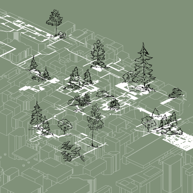
This thesis overlays the extant patchwork of private development in the PATH with a new public infrastructure of strategically distributed micro-forests, forming small ecosystems – ensuring greater public access, light infiltration to below-grade spaces, and improved air quality – inspiring rediscovery of the natural world.
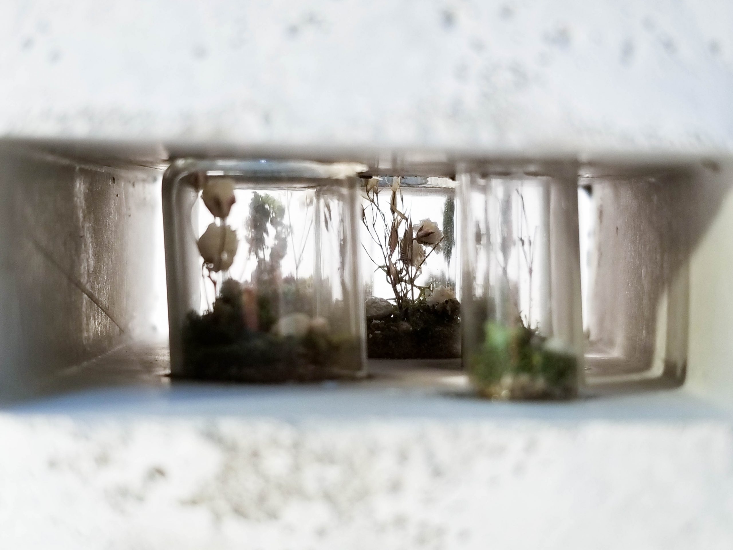
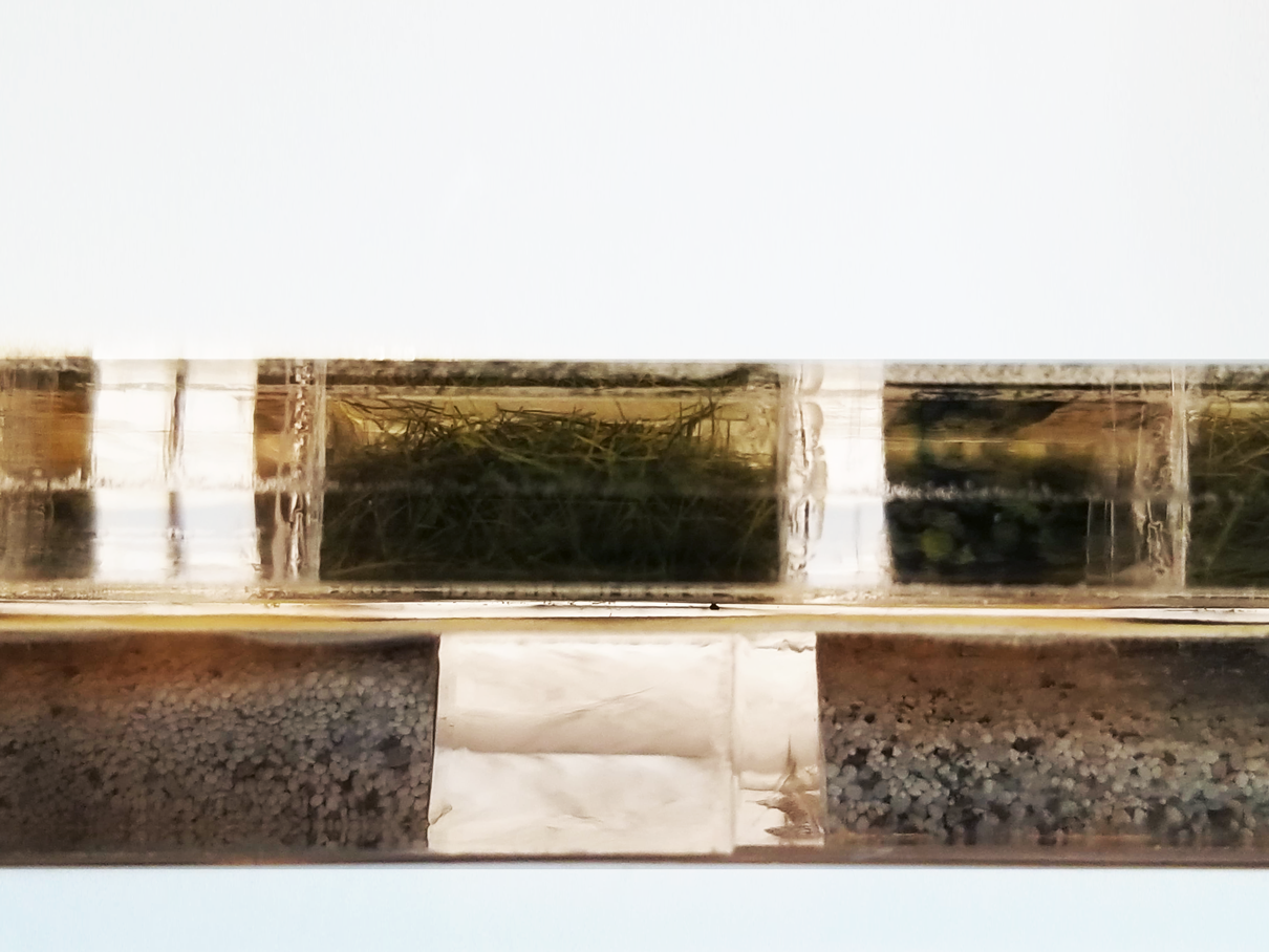
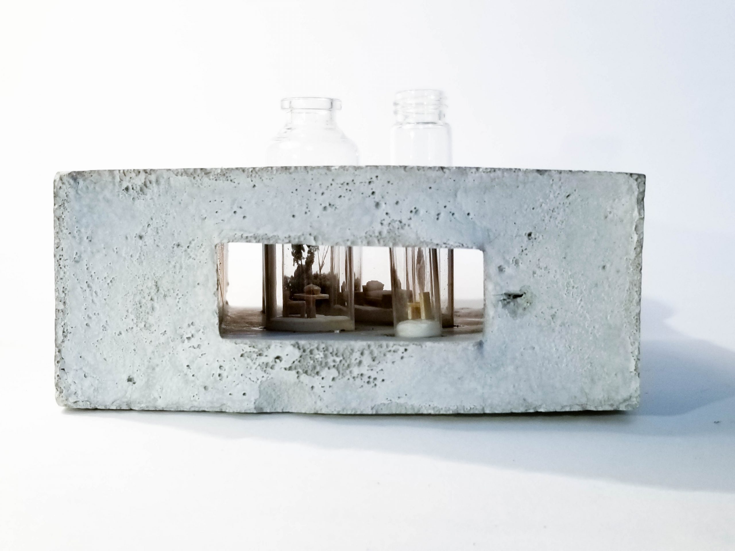
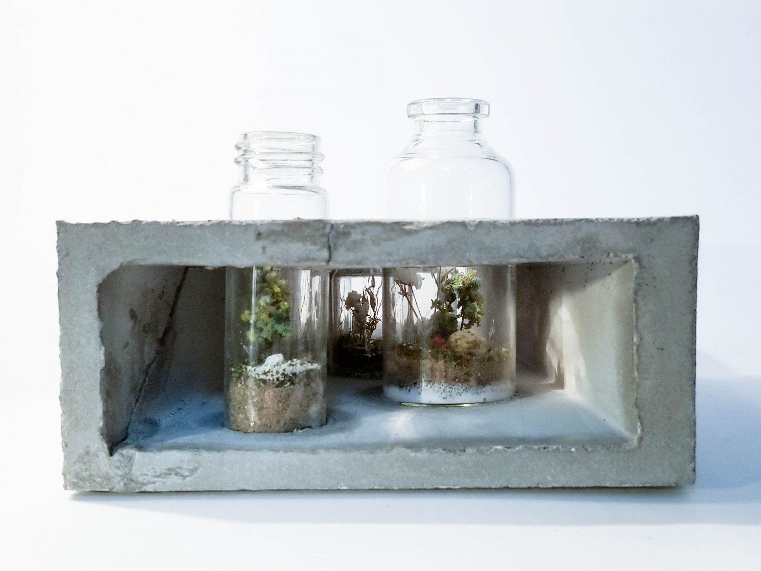
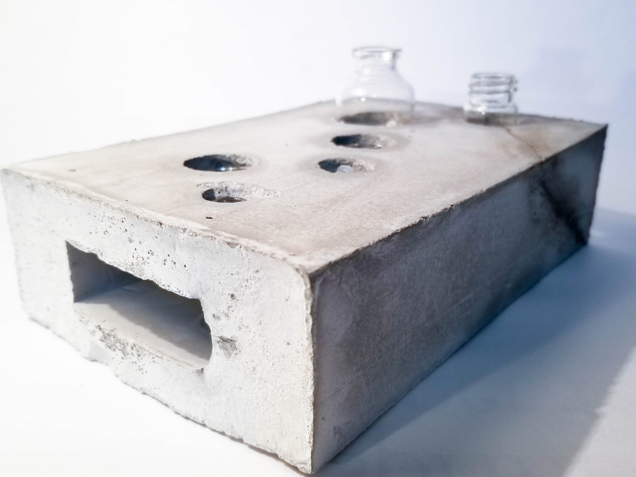
Artifact from Research Studio
These are some of the artifacts from last semester’s research studio. Through these, I became interested in the notion of heterotopic space, as Foucault describes as one of the oldest forms was the collection of botanical gardens. In particular, I was interested in the encapsulation of nature as part of a collection. This artifact expresses the potential of being one of the occupiable spaces in the path.
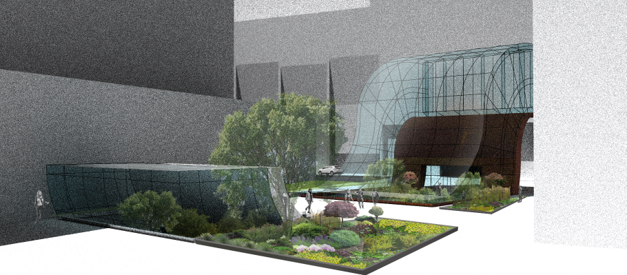
New Green Infrastructure at PATH Network
Illustrated here are three prototypical green portals designed to integrate city sidewalks with the below-grade PATH Network, providing visual connections and the unexpected appearance of nature in downtown Toronto. They are designed at 101 & 112 Richmond Street West, Bay Street & Front Street West, and University Avenue & King Street West.
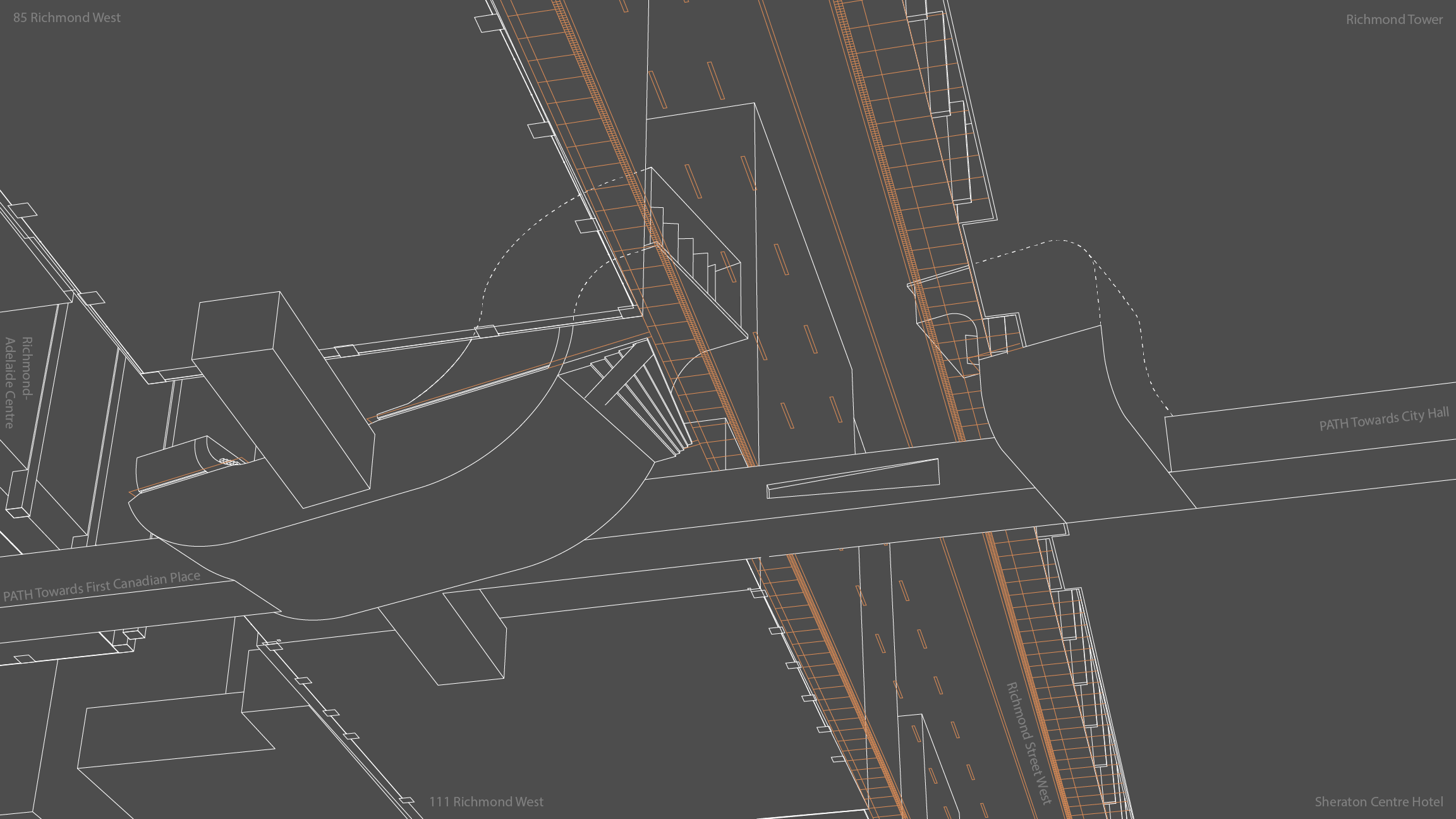
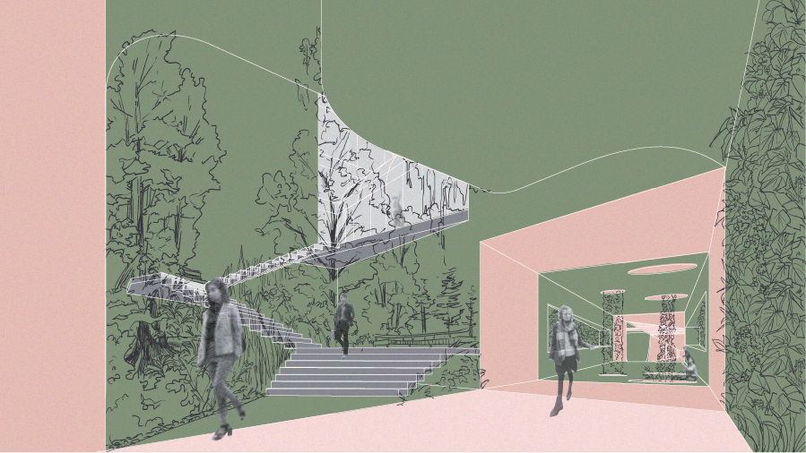
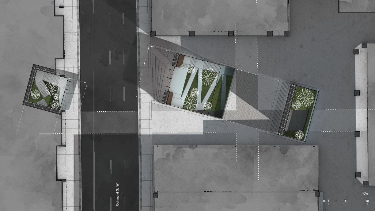
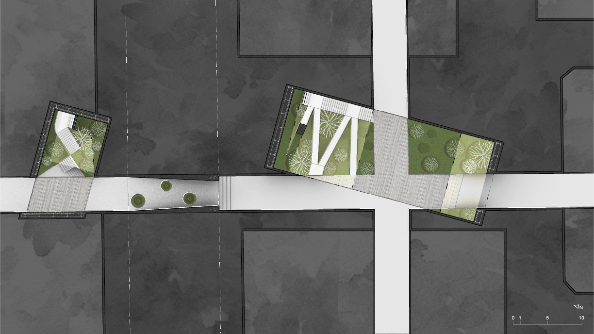
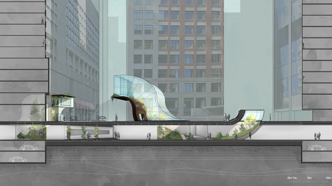
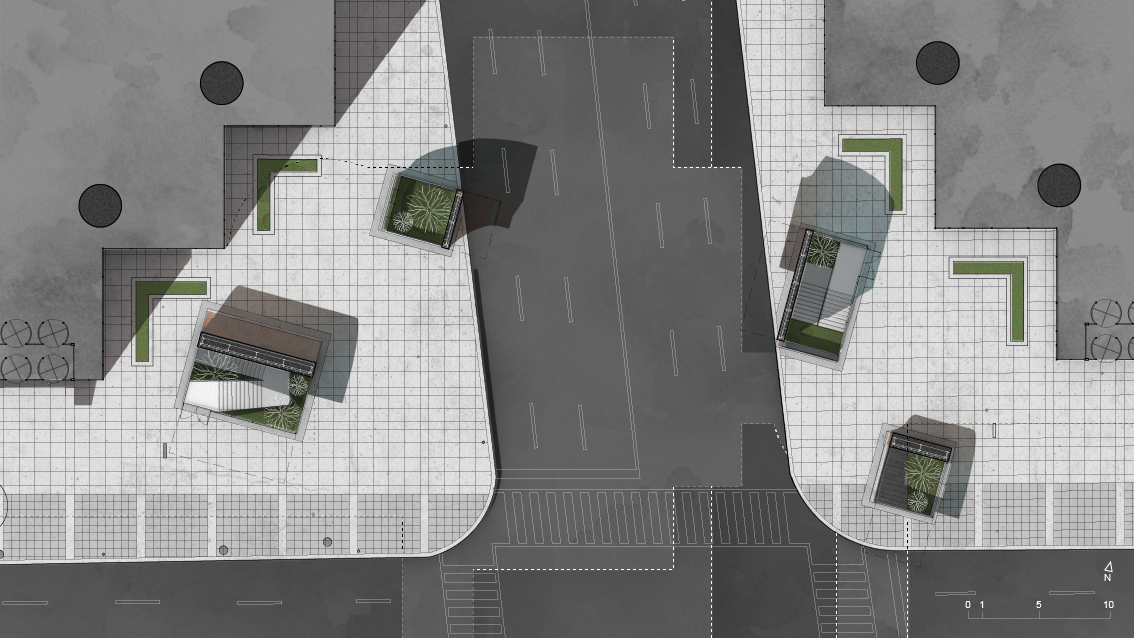
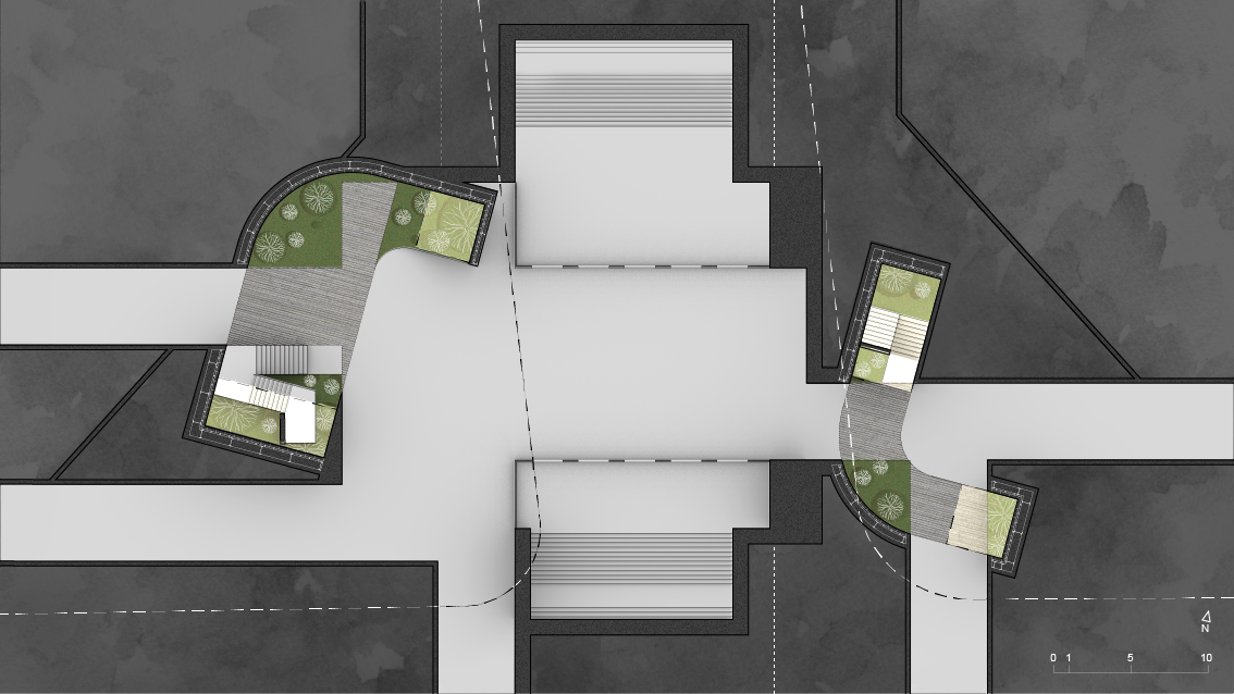
101 & 112 Richmond Street West
View looking west from Richmond Street West.
Worm’s eye view of Green Infrastructure. Orange lines indicate the ground plane (sidewalk, street).
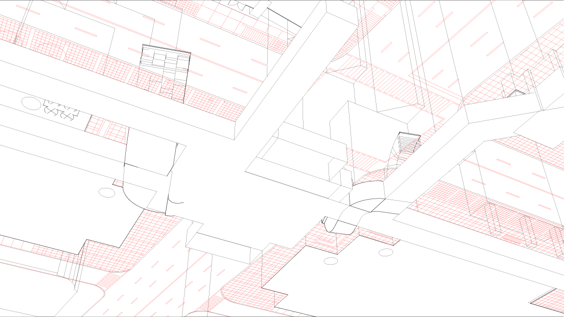
Diagram illustrating the intersection between Green Infrastructure (green) and PATH network (pink), showing public street connection and hydroponics @ tunnel under Richmond Street. Light grey is above ground.
Floor plan at the ground.
Floor plan at the underground PATH.
Perspective of Green Infrastructure street connection. @ 101 Richmond Street West, as seen from PATH.
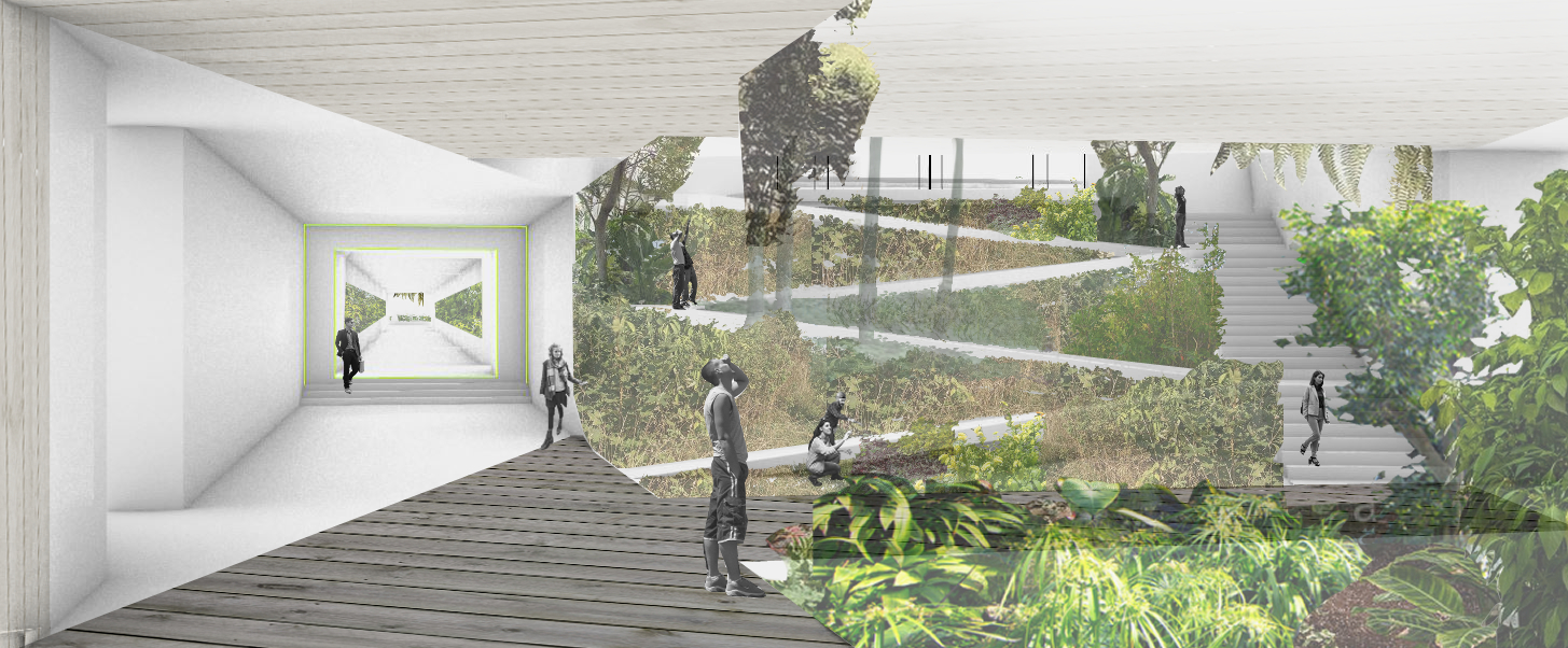
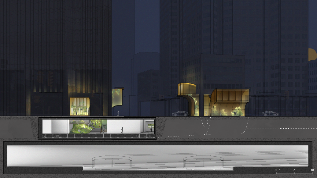
Section (N-S) of green portal and fresh air intake @101 Richmond Street West, looking towards the portal at 112 Richmond Street West.
University Avenue & King Street West
Aerial view of Green Infrastructure. Red lines indicate the ground plane (sidewalk, street).
Worm’s eye view of Green Infrastructure. Red lines indicate the ground plane (sidewalk, street).
Floor plan at the ground.
Floor plan at the underground PATH.
Perspective of Green Infrastructure street connection and sky light. @ 147 University Avenue, as seen from PATH.
Contextual massing of Green Infrastructure @ University Avenue & King Street West.
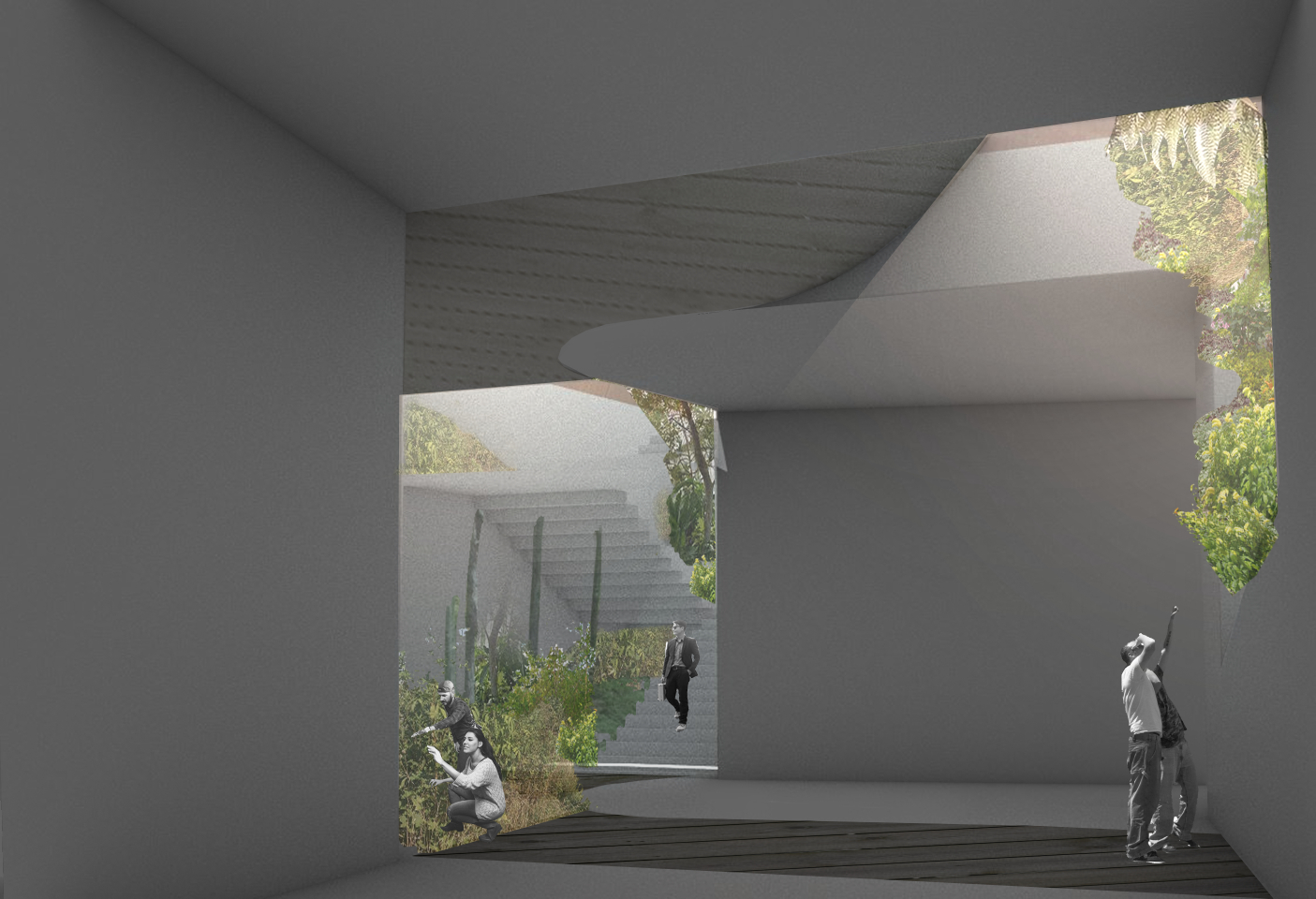
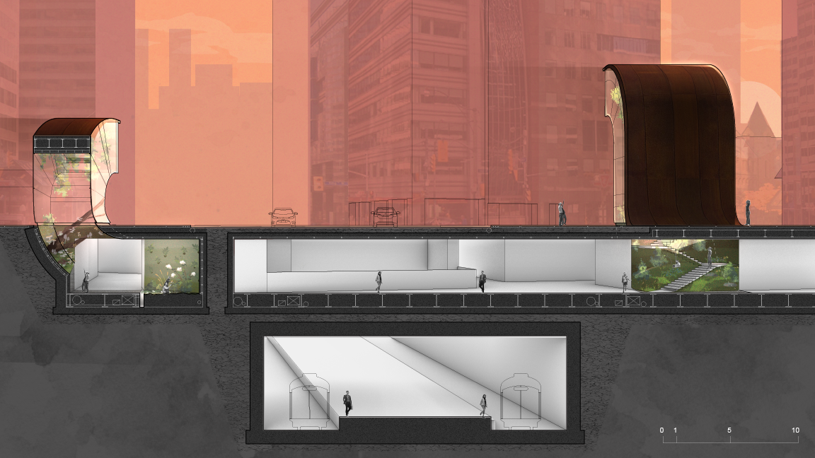
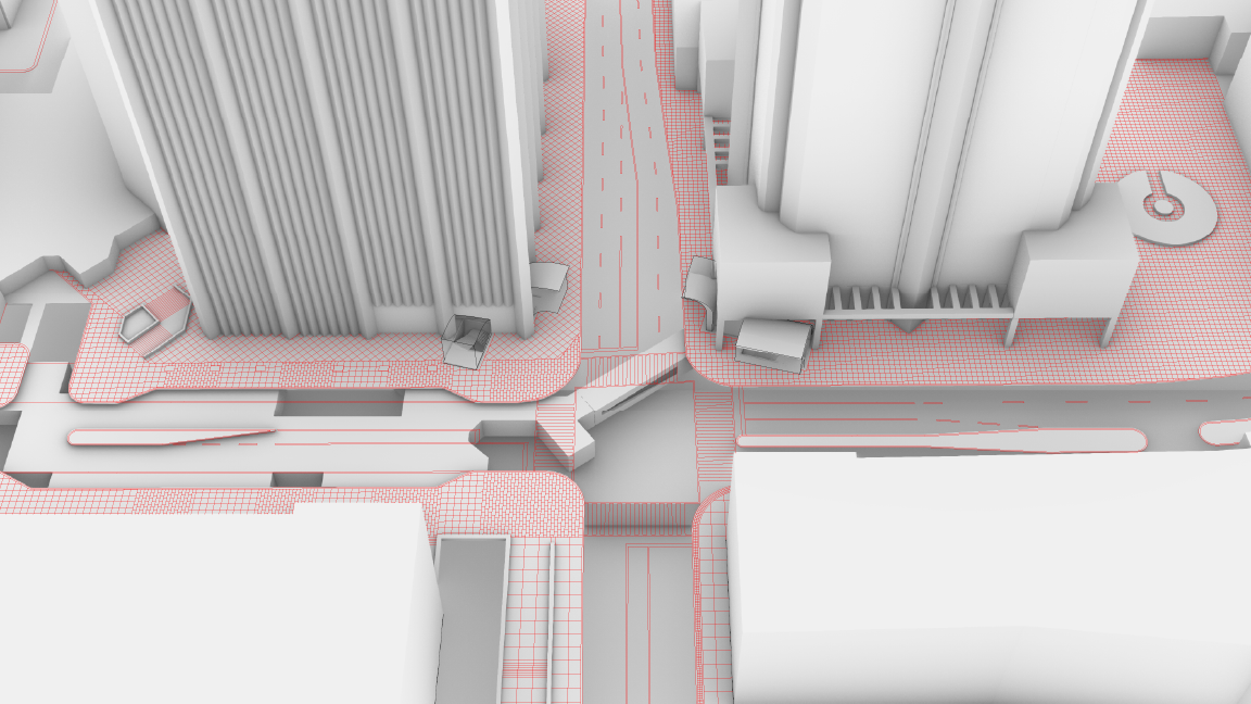
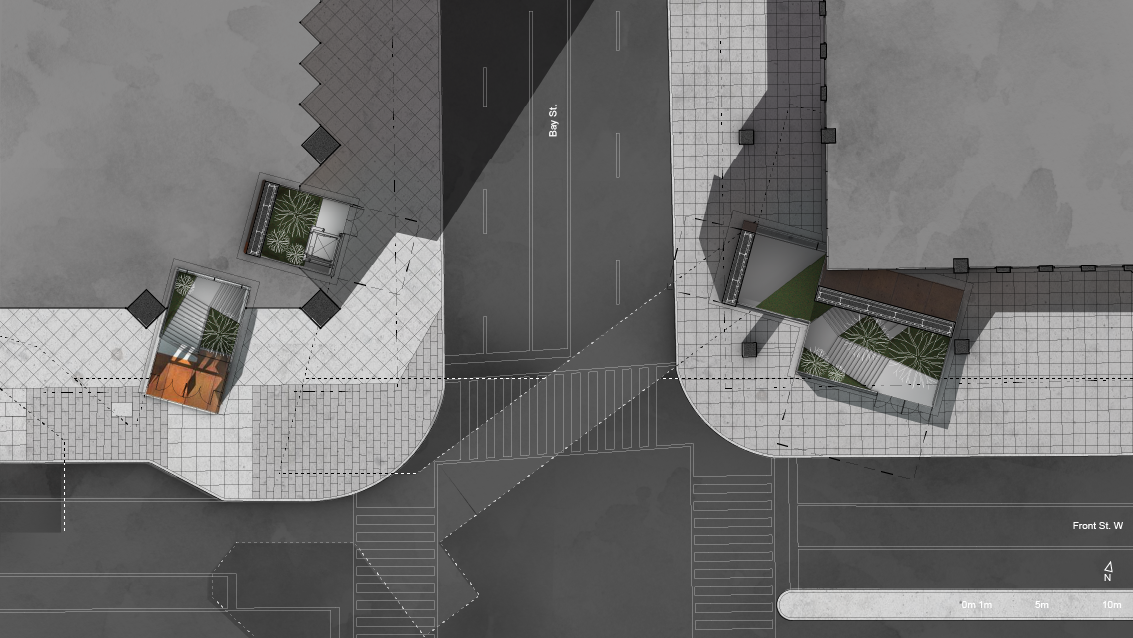
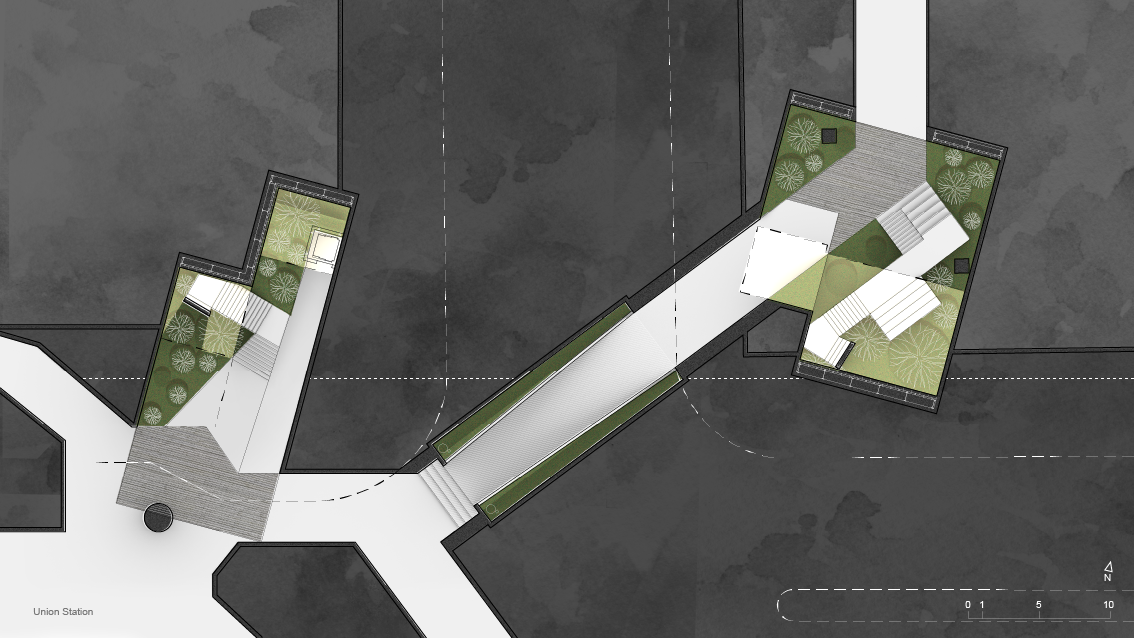
Bay Street & Front Street West
Aerial view of Green Infrastructure. Red lines indicate the ground plane (sidewalk, street).
Worm’s eye view of Green Infrastructure. Red lines indicate the ground plane (sidewalk, street).
Floor plan at the ground.
Floor plan at the underground PATH.
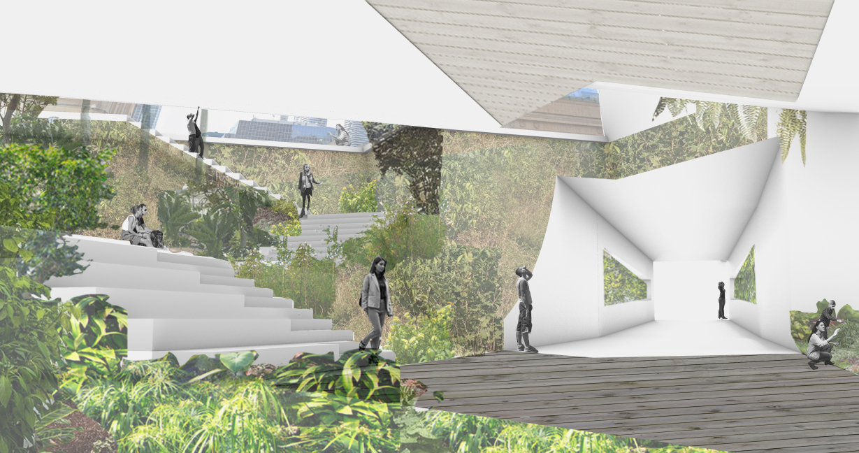
Perspective of Green Infrastructure street connection. @ 159 Bay Street, as seen from PATH.
Section (E-W) of green portal and fresh air intake @ Bay Street & Front Street West, looking towards North.