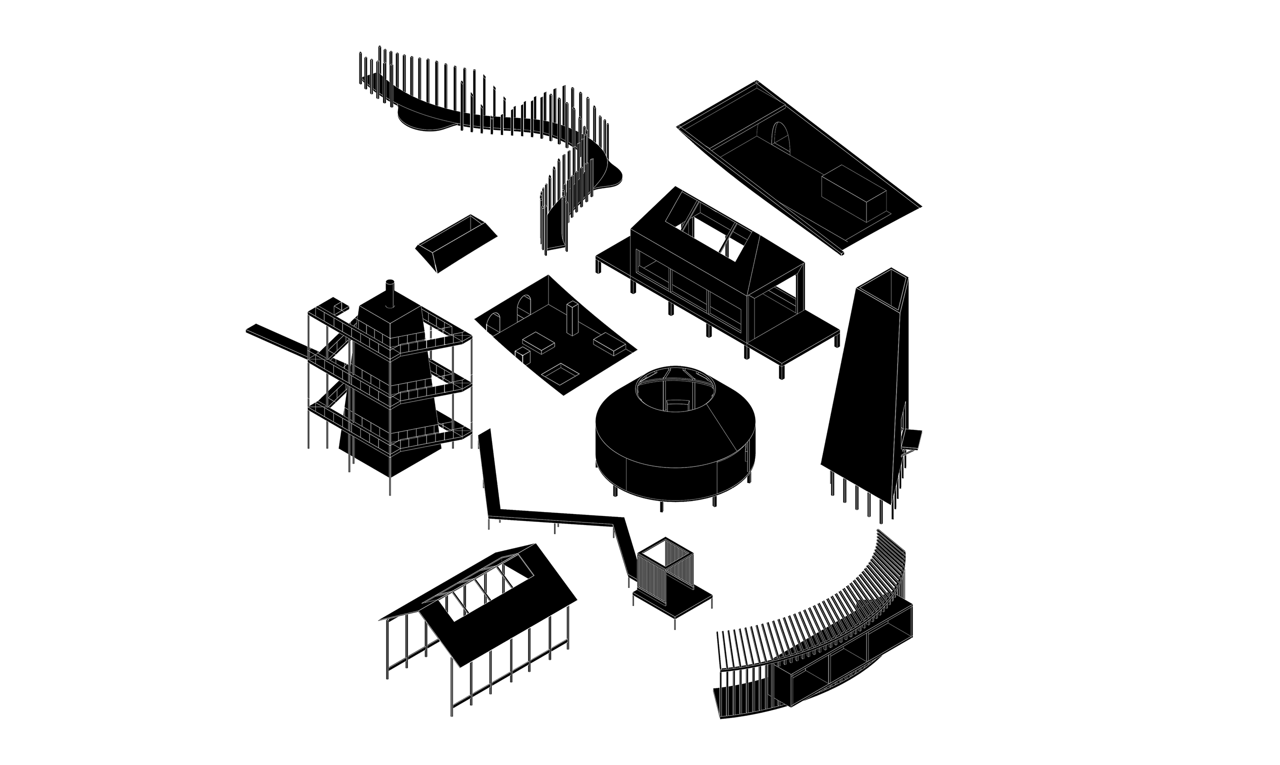
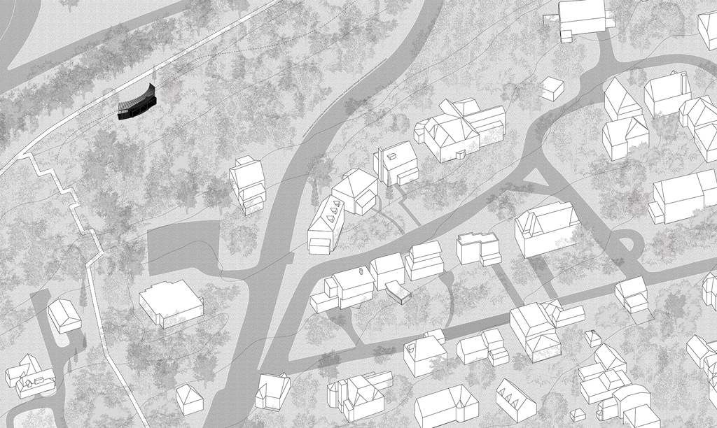
Responding to a series of walks during the COVID era, this project proposes a new atlas, guide, and index of architectural interventions for the Bruce Trail. Inhabiting walkscapes and imagining an index of human marks and navigations on an ancient and industrial landscape, I explore a series of rest/play structures, viewpoints, modern ruins, and spaces of encounter. A set of models and drawings questioning our connection to nature, our architectural agency, and different acts of conservation.
“There are three things: to walk, to see, and to see what you see” – Benton Mackaye
Back in March when the schools closed, I made the decision to move home a 2 hour drive away from Toronto, to a small town called Ancaster. Even though I have spent most of my childhood in the surrounding towns, Dundas and Hamilton, I never had the chance to explore the area. Because of the quarantine most of the usual places my family would visit were closed so we spent our summer exploring the nature trails near our home.
Because the trail size was so big and can take up to a year to walk, for my research I wanted to focus on the Iroquoia Section of the trail close to where I lived. this portion of the trail I walked over a course of a month slowly is about 40 km long. Since the hike was extremely long, I intended it to be a one way trip, I was dropped off at the entrance of the trail and a pickup was scheduled at the other end.
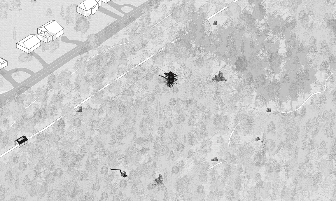
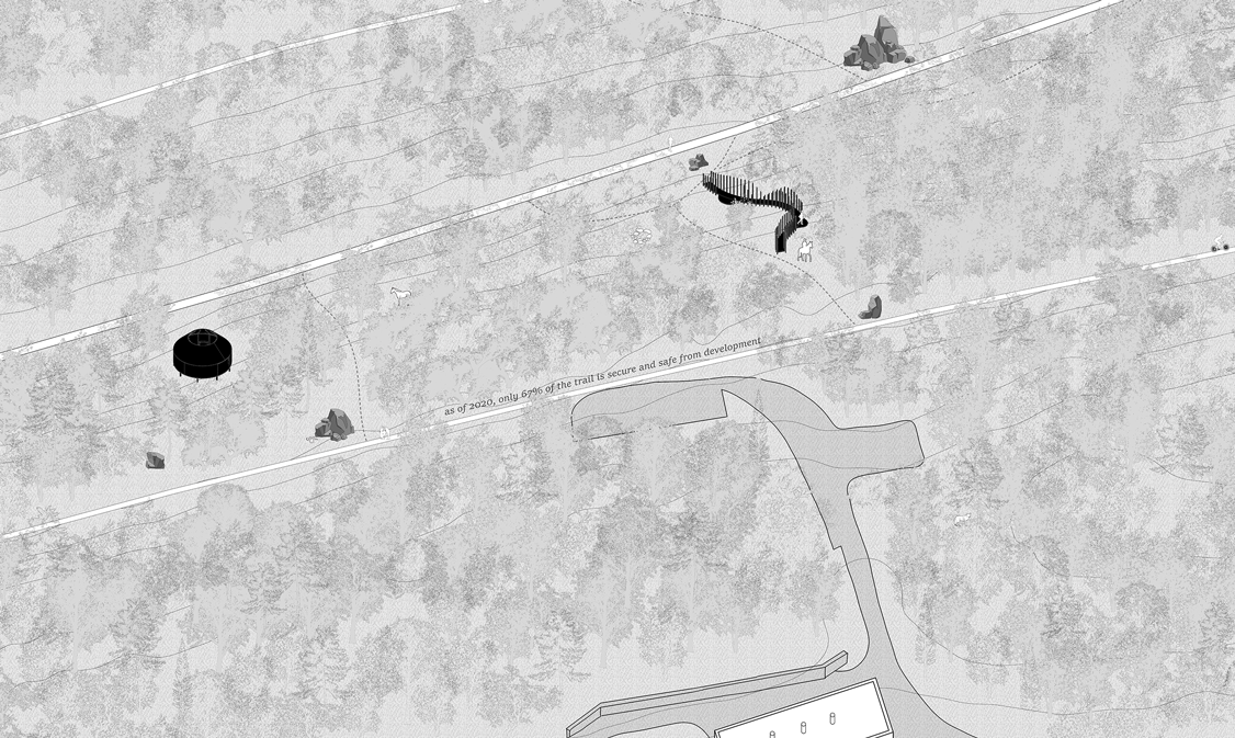
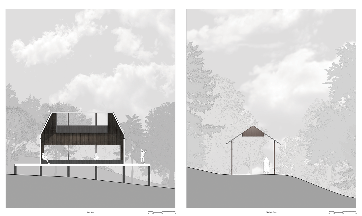
The journey is cut into 9 portions or Axonometrics and there are 10 different structures designed within.
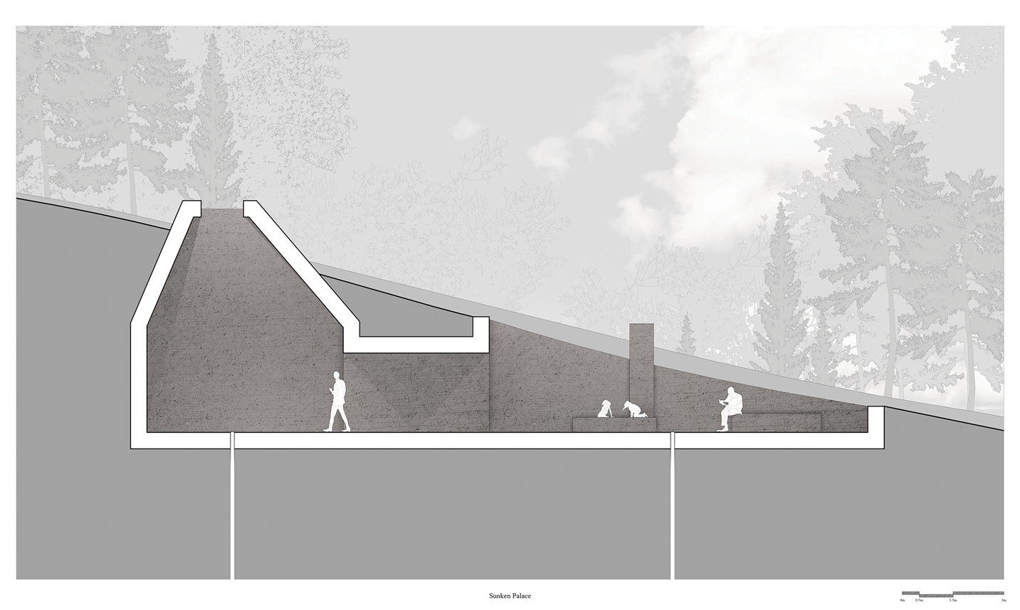
All of these structures have been mentioned in the guided tour but are designed with certain purposes in mind, a gate, picnic area, viewing tower, rest area, play area, a gallery, a boardwalk, shaded area, plaza, and a connecting viewing tower.
