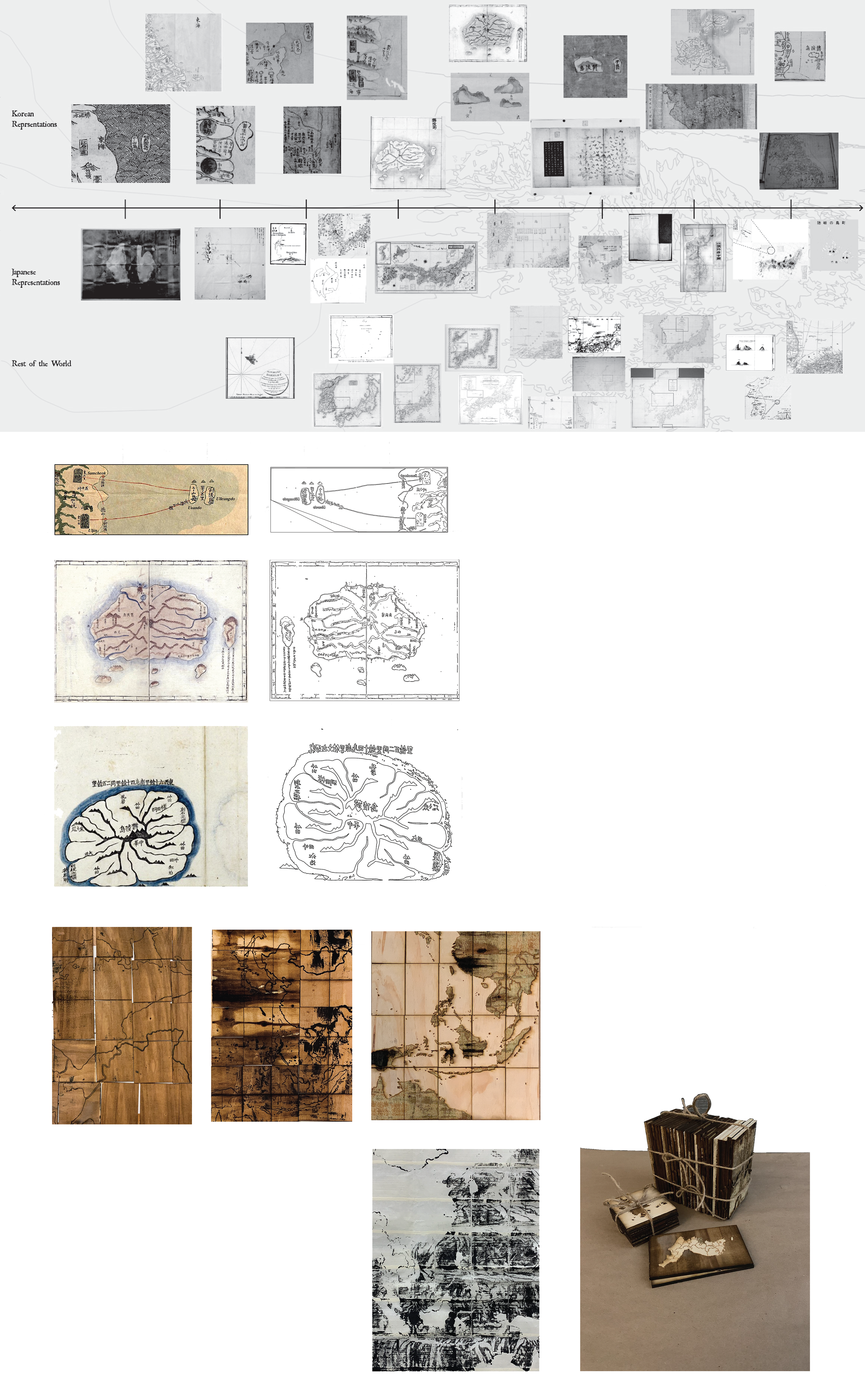
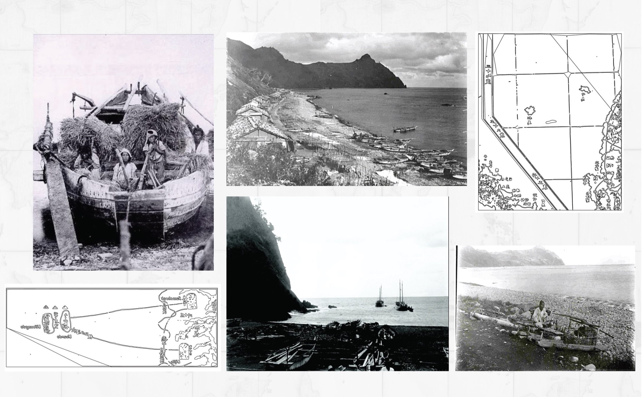
Maps have wielded extensive influence on human interactions, trade, colonization, migration, and technology. While maps possess biases, they remain crucial for comprehending our environment. Their methods can yield global consequences and biases rooted in data collection and representation. Such biases originate and/or are made manifest in terms of data collection (for example, by creators, patrons, agendas) and representational techniques (for example, in-/exclusion of information, scale, projection methods, symbolization/colour, text/annotation), influencing the ways in which maps are interpreted. My thesis project aims to expose biases, specifically in territorial disputes like the Liancourt Rocks (독도) clash between South Korea and Japan. This seemingly resource-based discord conceals a struggle for national pride. Cartography's evolution has exacerbated tensions between the nations, as Japan challenges Korea's historical cartographic evidence. The project counters baseless claims through a modern take on woodblock printmaking, presenting a personal narrative affirming Korea's ownership of Dokdo.


