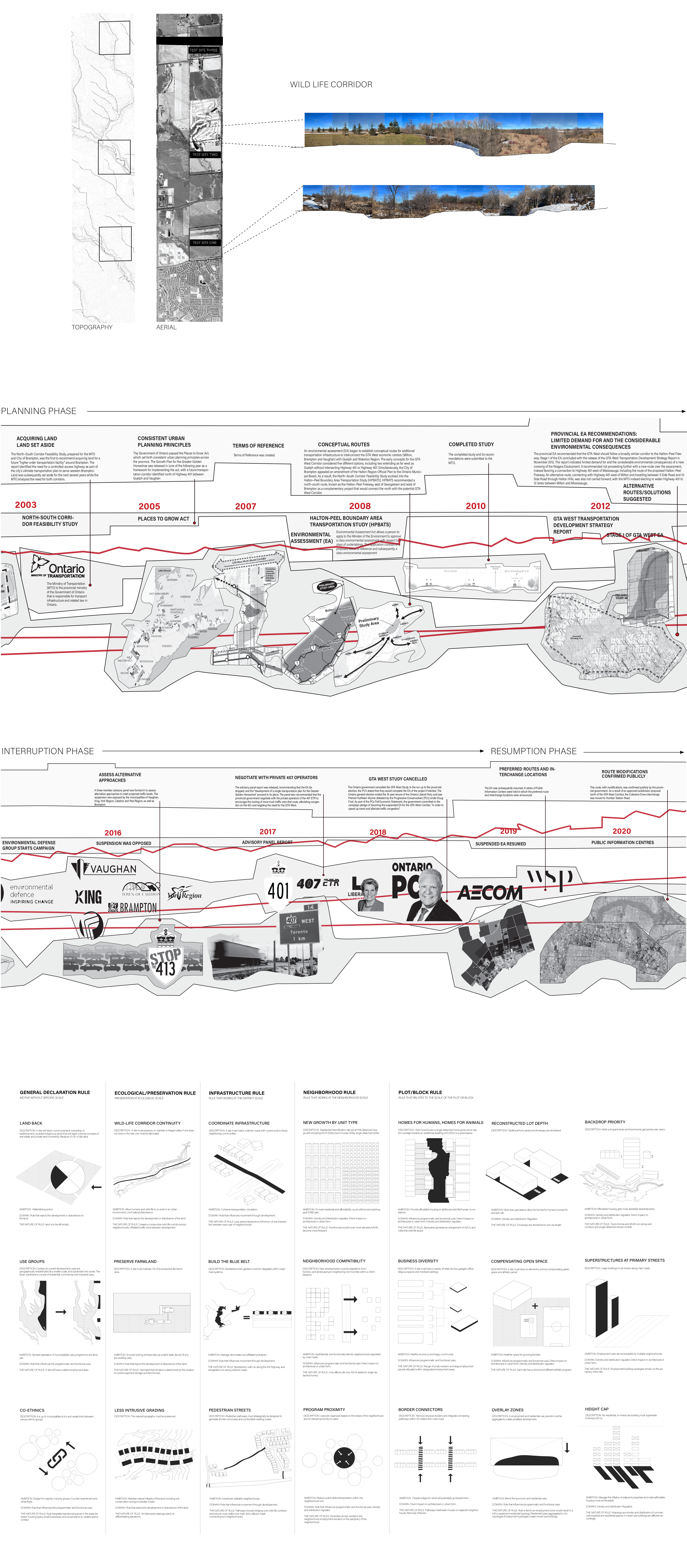
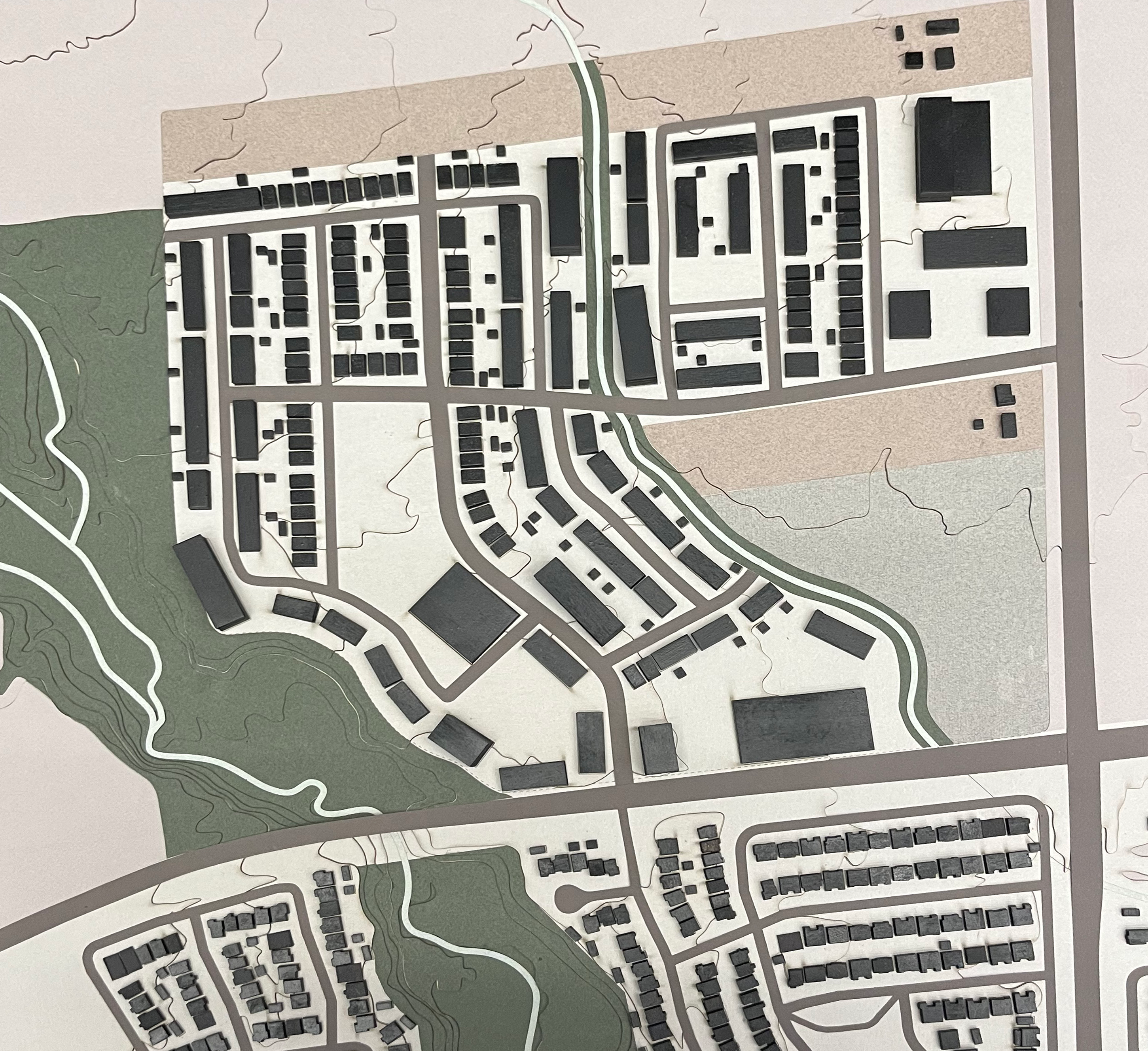
A recent Globe and Mail study revealed seventy-seven of Canada's top 100-most indebted neighbourhoods were in the Greater Toronto Area’s urban periphery (Younglai and Wang 2019). The proposed 413 Provincial Highway is designed to connect the existing 400-series highways through prime farmland and protected Greenbelt, enabling the expansion of single-detached neighbourhoods in the Regions of Peel, York, and Halton. In this light, the proposed 413 Provincial Highway creates a geography of risk. Analysing Peel Region’s urban expansion plans reveals their insufficiency for mitigating ecological and social risks presented by highway expansion. This thesis counters existing models of sprawl by devising a set of urban design rules. Rule one, Land Back, returns ownership for a part of each development site to its traditional stewards, with subsequent rules preserving ecological sites and designing for a pixelated, compact, mixed-use community responsive to the existing residents of Peel Region. Viewing the GTA’s urban peripheries as riskscapes mandates architects and urban designers to become more attentive to these sites' historical, ecological, and social qualities while challenging received forms of practice.


